Living in the Toronto area, you take the good with the bad. While the city offers innumerable benefits over smaller towns, you simply can’t “just get away” without committing to a few hours behind the wheel. Well, that is what we thought until we found the Bruce Trail.

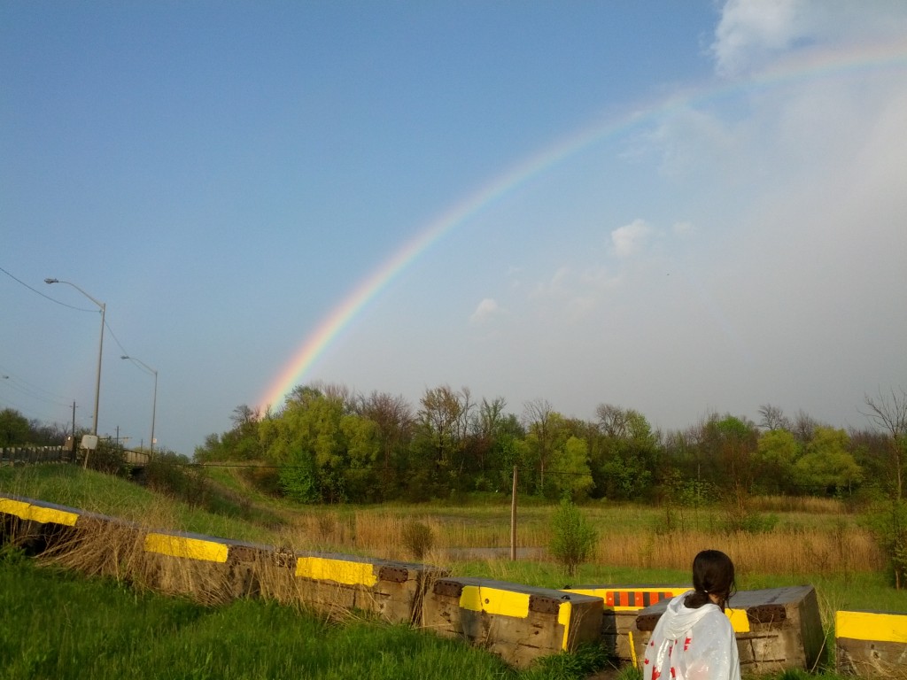
Perseverance through the downpour rewarded us with this rare and spectacular horizon-to-horizon double rainbow. The camera phone doesn’t do this event justice: the colours were more vivid and distinct than any I’ve seen.
The Bruce is a true hidden treasure: not only is it the oldest and longest marked footpath in Canada, but it passes right through the west end of the metropolis area along the UNESCO-protected Niagara Escarpment. Spanning 900km from Niagara to Tobermory, there’s more than enough nature, hiking, camping and climbing to keep you busy literally for years.
One of my sons and I started hiking along the Bruce a few years back, and have undertaken a mission to complete a full end-to-end run by October 2015. We’ve wiped our old logbook clean, and restarted at the Southern Terminus Cairn this past Sunday, May 18. I’ll be chronicling our progress here, as well as adding some tips and suggestions for those who may be undertaking the same route.
Hiking Log
(This is a raw copy of our log as recorded on the day. Don’t expect remarkable grammar or content).
Ingress: Niagara Club Region @0.0 (Southern Terminus Cairn). Sun, May 18, 2014 2:30PM
Egress: Niagara Club Region @23.6. Sun, May 18, 2014 8:05PM
Starting conditions were excellent: cool temperatures, light wind and no bugs. Make great time over first 10km. One break at 1h30 mark for 10 minutes. Major break (35 mins) at 11.8 km mark along Warner Rd. before entering Woodend Conservation area.

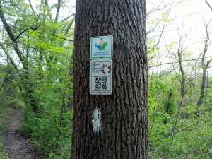
At the intersection of several trails. The Bruce is marked by the ever-present single white blaze.
Finding lots of mud – some unavoidable – in lower-lying areas, roughly every 500m or so. People have obviously been through here on motorized off-road vehicles, and have really ripped up the trail in places. Mud nearly impassable in 2 or 3 spots… just have to walk through and deal with the consequences. The mud itself and efforts to skirt it safely leading to slowdowns, fatigue, frustration, and some twisted ankles.
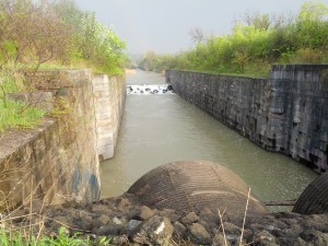
Heavy rain starts around the 16km mark as we pass by some of the Welland Canal. This isn’t helping the mud situation, but has put the run to some evening mosquitos. Will makes use of a dollar-store poncho to mitigate the deluge, but we end up pretty much soaked through.
A few scary moments at a steep zig-zag descent (did not note location) down a slippery ledge, then again with muddy tracks along cliff-top portions of the trail. Also a few dizzying moments along the canal edge with just a few slippery feet separating us from a fatal drop. I hope the conservation authority finds a way to route the trail further from that drop in future!
Lost the trail a total of 4 times today: Once overlooking a steep gorge, but found the blazes after a bit of rooting around, then again at an apparent 3-way intersection with another trail. We encountered another disoriented couple (mother and son), before we noticed the blaze painted on the side of what looked like a large sewer channel. We called back to them after Will and I found a few clear white blazes on the opposite end of the dark and flooded tunnel.

The end of the Welland Canal was a welcome site. There were some hearstopping moments with a 30-foot sheer drop only 2 feet to our left with no barrier or warning.
Third lost trail was at the intersection of the Bert Lowe Trail. We had to backtrack a few hundred metres to pick up the Bruce. The fourth lost trail put us on a different track entirely, which was marked with yellow blazes, which we mistook for faded white Bruce markers. Luckily this trail ran roughly parallel with the Bruce, which we were able to pick up about a kilometre later with little lost time.
This entire section of trail (the first 23km of the Niagara Club Region) was picturesque in places, but generally unremarkable, except for the canal zones which were breathtaking in both a good (awe-inspiring) and bad (fear-inducing) sense. A beautiful double rainbow marked the end of our rain-inundated stretch along the canal, providing a landmark for the home stretch to egress, and the beginning of a warm, welcoming sunset.
Due to a very late start (2.5 hour delay with weekend traffic), and the general muddiness of the trail, we broke with our normal rest procedures. We rested only twice, completing the last 12km of the trip without any real respite. We encountered only about a dozen other hikers on the trail throughout the ~23km stretch.

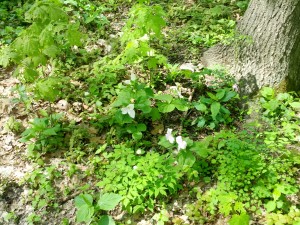
Trillium Flowers abound in this section of the trail.
Will pointed out several ideal camping places along the way, and expressed interest in a 100km hike at some point with full packs. We will need to toughen up significantly for that kind of trek, which will probably be necessary for the Peninsula Club section from Tobermory through Wiarton.
We encountered an uncommon number of small snakes along the way, though few other signs of wildlife. A few rabbits crossed the path as it approached the outskirts of town. Trillium flowers, both white and pink, carpeted the forest floor in many areas.
Our ankles are sore from dancing and hopping around muddy trenches – it may be worth investing in some low-cut light hiking boots for future trips. Otherwise, the day has been successful and fairly easy, though we were working from an outdated packing list, and need to update our packing sheets based on some hiking logs from previous years.